digital tool
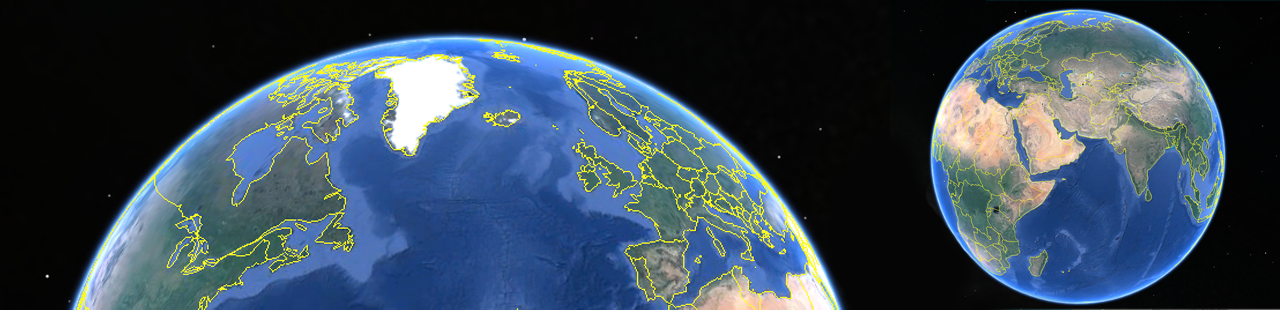
Google Earth
In Google Earth you can tour the world through maps. The maps and tours can be customized by adding pins, writing descriptions, attaching photographs, overlaying images and embedding your own 3D models, or adding them from the SketchUp library. The tours can be recorded to visualize them later.
Google Earth has versions for mobile, desktop and web. Visit their website.
Tutorial
- Digitize the map created by the participants
- Open Google Earth
- Import the map to the corresponding coordinates (see Place the map below)
- Add other elements like pins or photographs
- Save the project File - Save - Save place as
Place the map
- Find the location within Google Earth
- Click Add Choose Image Overlay
- In Link browse until you locate the image in your computer and upload it.
- With the green frame you can modify the size, position and rotation of the image.
- To modify the image again go to the sidebar and highlight the image layer.
- Right-click and choose Get info
- Modify size.